SURVEY · EARTHWORKS · CONSTRUCTION · SITE DATA
Fast, detailed aerial mapping for a clear understanding of the site on the ground.
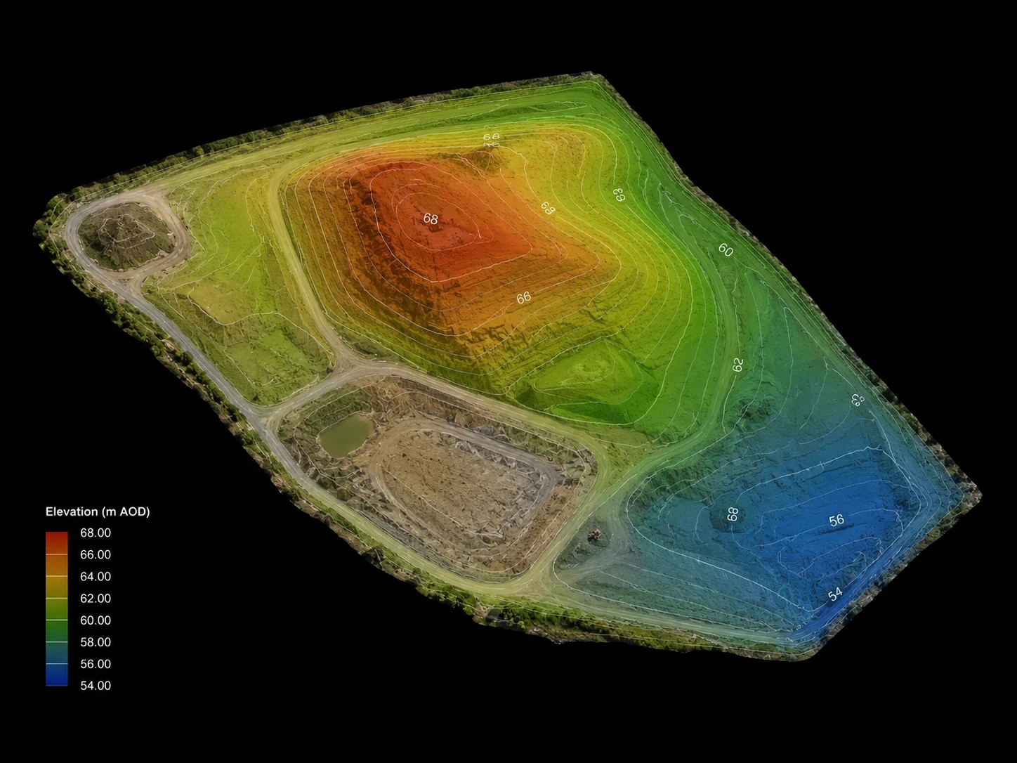
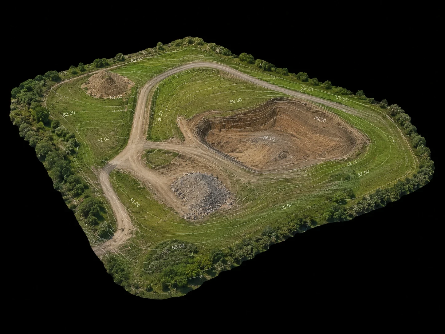
Aerial mapping can capture large areas efficiently and provide detailed spatial data for construction, earthworks, development and infrastructure projects. Aerial Focus plans each survey around the required outputs, site conditions and control methodology so the captured data is suitable for the intended use.
What we provide
High-resolution aerial mapping of construction sites, developments and open land.
RTK-enabled capture and survey-control workflows where required by the project specification.
Digital surface and terrain information for understanding levels and site form.
Repeatable progress surveys for earthworks and construction programmes.
Volume, area and distance information from processed survey data where appropriate.
POSSIBLE DELIVERABLES
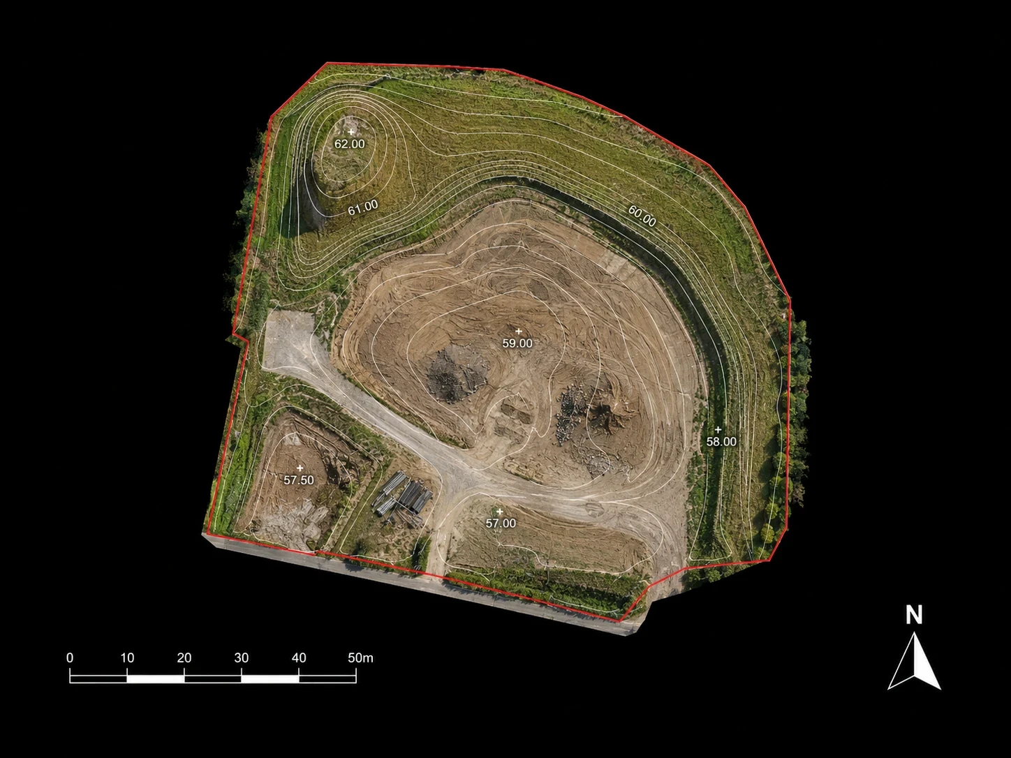
Orthomosaic maps
Point clouds
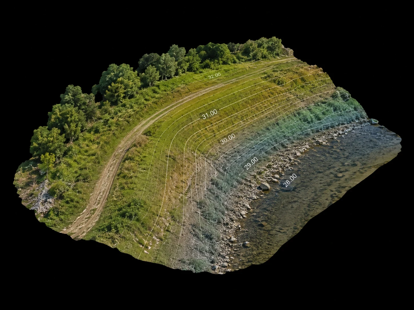
Digital surface models
Digital terrain models where appropriate
Contours and elevation data
Volumes, measurements and GIS/CAD-compatible outputs where agreed
Drone mapping can capture a detailed snapshot of an entire site in a relatively short field visit. That dataset can then be reviewed, measured and compared with later surveys, giving project teams a useful visual and spatial record without relying solely on isolated ground observations.
