ENERGY · UTILITIES · TRANSPORT · TELECOMS
Detailed aerial inspection data for assets that are difficult, time-consuming or hazardous to access from the ground.
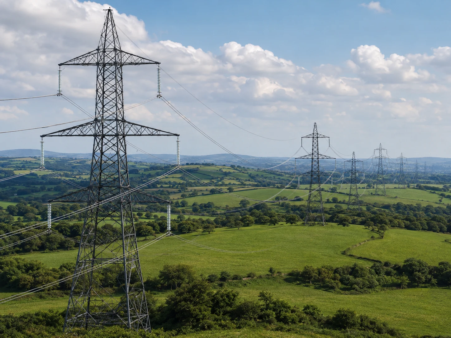
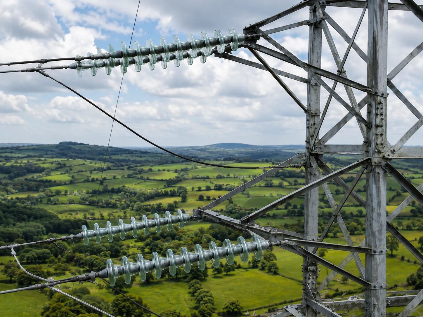
Aerial Focus provides close-range drone inspections of powerline assets and wider infrastructure, capturing high-resolution visual data that helps engineering and asset teams understand condition, identify visible defects and plan maintenance. Each operation is planned around the asset, surrounding environment and information the client needs - not simply around the aircraft.
What we provide
High-resolution imagery of towers, poles, conductors, insulators, fittings, masts, gantries and structural elements.
Systematic capture following an agreed inspection sequence so assets can be reviewed consistently.
Close visual access to elevated or difficult-to-reach components without unnecessary work at height.
Geo-referenced imagery and structured records where required for asset management and inspection workflows.
Thermal or specialist payload integration where the project scope calls for additional data.
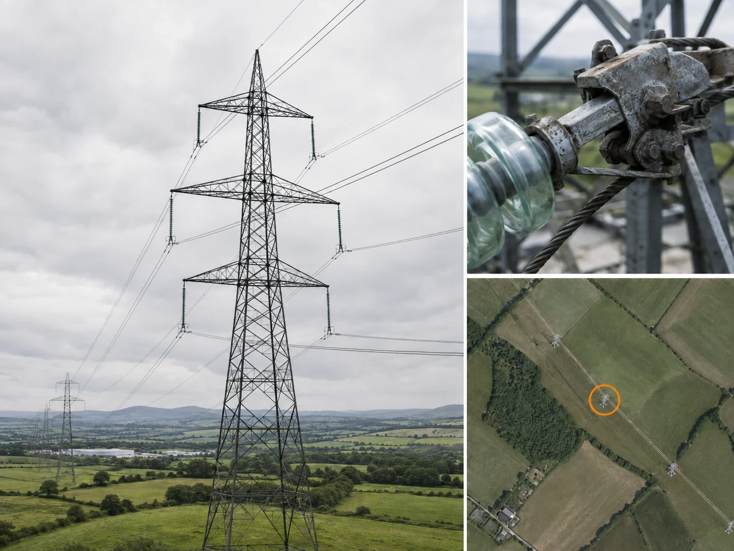
POSSIBLE DELIVERABLES
High-resolution inspection photographs
4K video where useful
Organised asset-by-asset image sets
Geo-referenced inspection records
Client-specific naming and folder structures
PDF inspection reports where required
Drone inspection can give engineering teams a clear view of elevated assets while reducing reliance on MEWPs, scaffolding, rope access and repeated climbing for initial visual assessment. It can also provide a repeatable record that can be compared over time.
