3D DATA · POINT CLOUDS · DIGITAL TWINS · CAD / BIM

Photogrammetry, LiDAR & 3D Modelling

Photogrammetry, LiDAR & 3D Modelling

Turn real-world sites and structures into measurable digital data.
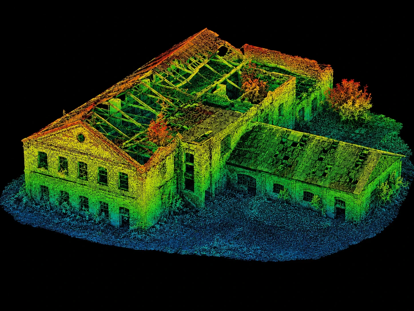
Coloured 3D point cloud scan of a UK bridge and surrounding terrain
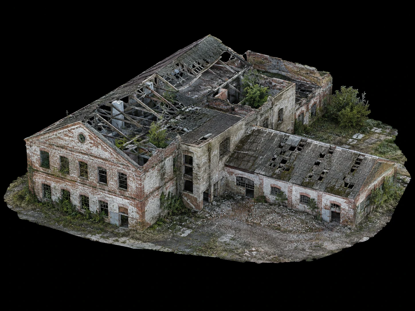
Photorealistic textured 3D model of an industrial structure generated from drone imagery

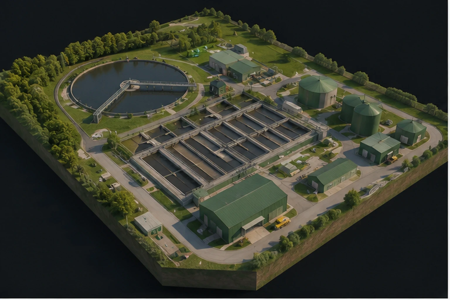
Aerial Focus combines high-resolution photogrammetry and LiDAR capture to create detailed digital representations of sites, structures and assets. Depending on the project, data can be processed into orthomosaics, point clouds, meshes, elevation models and 3D outputs that support inspection, measurement, design, planning and long-term asset records.

What we provide

Photogrammetry using overlapping high-resolution imagery to reconstruct accurate surface geometry and texture.

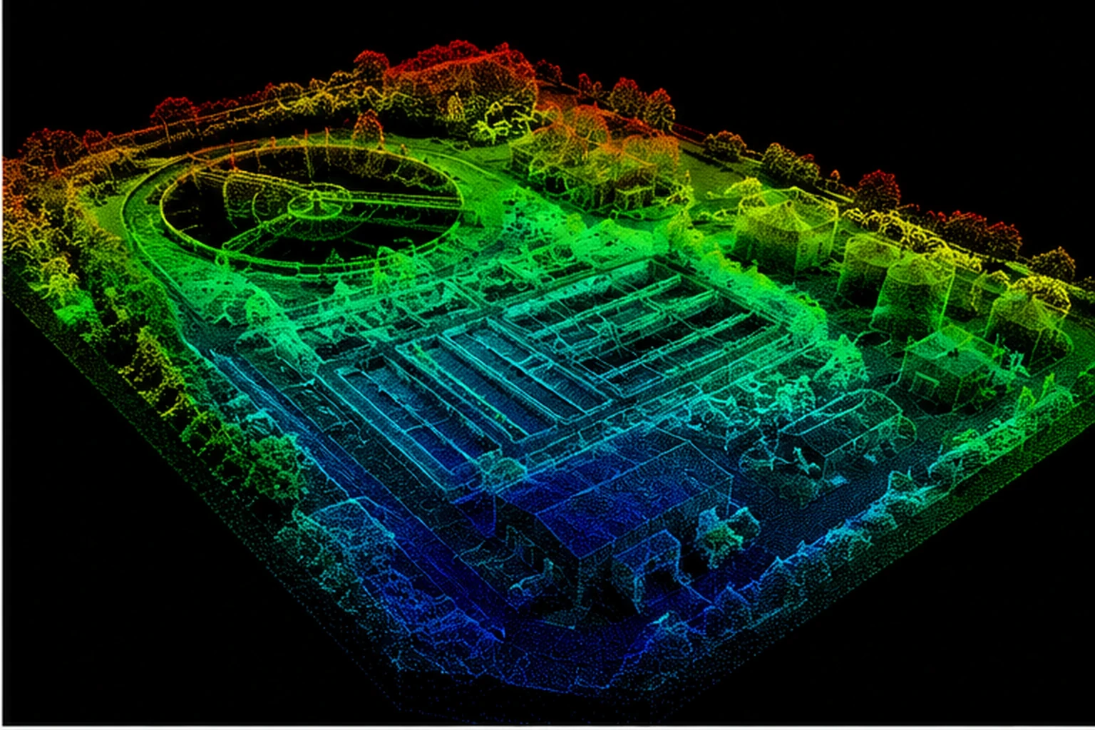
LiDAR capture using laser measurements to generate dense 3D point-cloud data, including environments where imagery alone may be limited.

Combined capture strategies where imagery and LiDAR complement each other.

Repeat surveys to record change, construction progress or asset condition over time.

Data prepared for downstream CAD, BIM, GIS and engineering workflows where required.
Dense LiDAR point cloud showing terrain and vegetation with ground detail visible
Workflow visual showing a site photograph transitioning into a 3D point cloud and mesh

TYPICAL APPLICATIONS

Buildings, bridges and complex structures

Construction and development sites

Quarries, earthworks and stockpiles

Linear infrastructure and corridors

Vegetated terrain and difficult surface geometry

Existing-condition and as-built records

Workflow visual showing a site photograph transitioning into a 3D point cloud and mesh

TYPICAL APPLICATIONS

Buildings, bridges and complex structures

Construction and development sites

Quarries, earthworks and stockpiles

Linear infrastructure and corridors

Vegetated terrain and difficult surface geometry

Existing-condition and as-built records

Coloured 3D point cloud scan of a UK bridge and surrounding terrain

POSSIBLE DELIVERABLES

Colourised point clouds

LiDAR point clouds

Textured 3D meshes / models

Orthomosaic imagery

Digital surface / terrain models

CAD, BIM or GIS-ready data formats where agreed

Why use aerial focus?

Why use
aerial focus?

Photogrammetry provides highly detailed, photo-realistic surface information, while LiDAR directly measures geometry and can be especially valuable around complex structures, low-texture surfaces and vegetation. The best method depends on the site and required output - and in some projects, using both provides the strongest dataset.

Need a site or asset captured in 3D?

Need a site or asset captured in 3D?

Tell us what you need to measure, model or document and how the data will be used. We can work backwards from the required deliverable to recommend photogrammetry, LiDAR or a combined capture method.

Tell us what you need to measure, model or document and how the data will be used. We can work backwards from the required deliverable to recommend photogrammetry, LiDAR or a combined capture method.

Drone shot of a running track at night
  • INSPECT · SURVEY · DELIVER · INSPECT · SURVEY · DELIVER · INSPECT · SURVEY · DELIVER ·

Aerial Focus logo

A different view changes what you can see. Aerial Focus brings CAA-authorised drone inspection, survey, and mapping to infrastructure and construction teams who need the full picture — without the scaffolding, shutdowns, or risk.

© Aerial Focus Ltd

  • INSPECT · SURVEY · DELIVER · INSPECT · SURVEY · DELIVER · INSPECT · SURVEY · DELIVER ·

Aerial Focus logo

A different view changes what you can see. Aerial Focus brings CAA-authorised drone inspection, survey, and mapping to infrastructure and construction teams who need the full picture — without the scaffolding, shutdowns, or risk.

© Aerial Focus Ltd

  • INSPECT · SURVEY · DELIVER · INSPECT · SURVEY · DELIVER · INSPECT · SURVEY · DELIVER ·

Aerial Focus logo

A different view changes what you can see. Aerial Focus brings CAA-authorised drone inspection, survey, and mapping to infrastructure and construction teams who need the full picture — without the scaffolding, shutdowns, or risk.

© Aerial Focus Ltd