CULVERTS · TANKS · SHAFTS · DUCTS · INTERNAL ASSETS

CULVERTS · TANKS · SHAFTS · DUCTS · INTERNAL ASSETS

Confined-Space Inspections

Confined-Space Inspections

Specialist internal inspection where conventional access is difficult, disruptive or high risk.
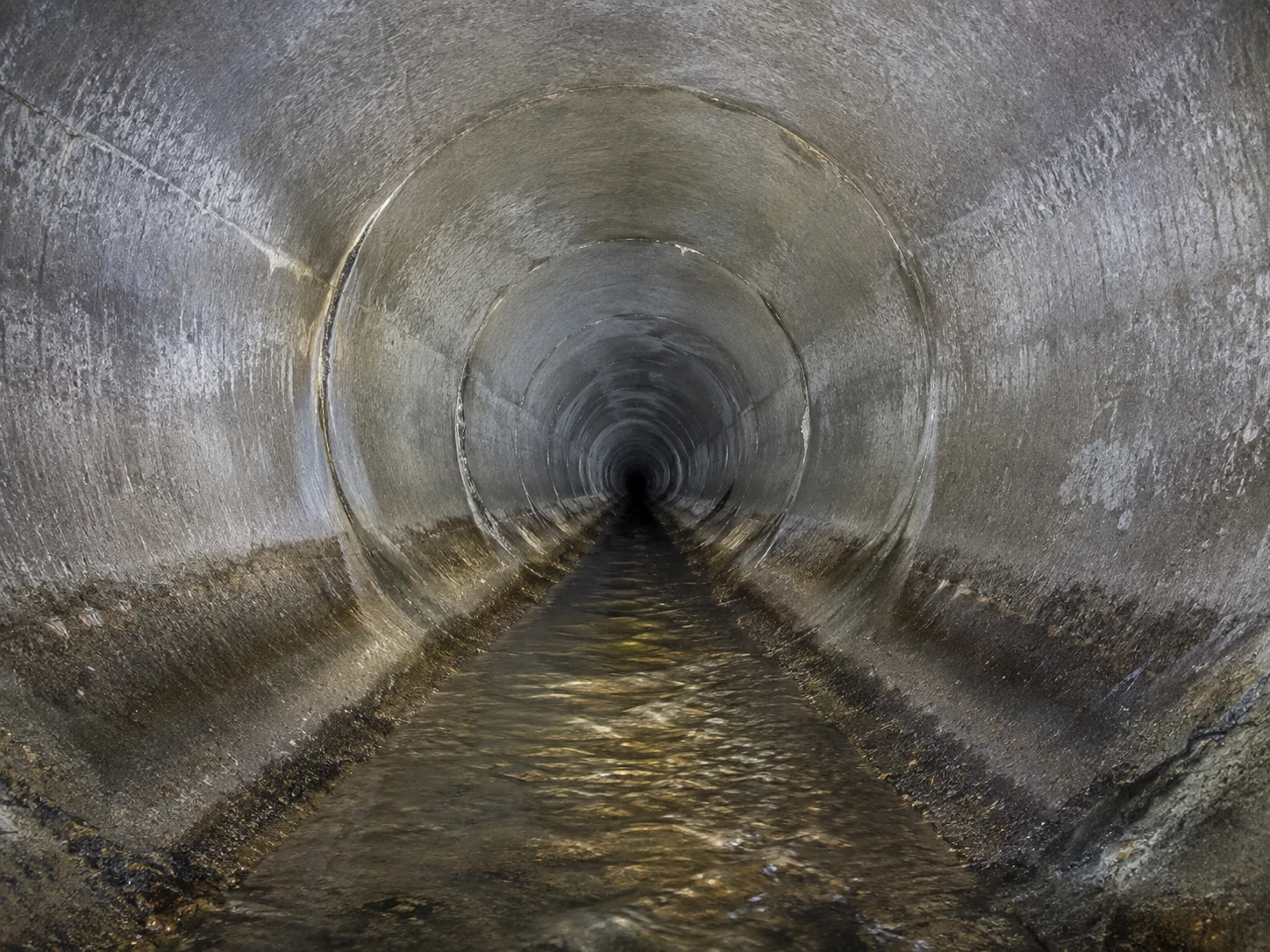
Collision-tolerant inspection drone flying inside a concrete culvert with integrated lighting
Close internal inspection image of a culvert wall showing cracking and staining

Using purpose-built collision-tolerant inspection drones, Aerial Focus can capture detailed visual and spatial information inside enclosed or GPS-denied environments. This allows asset teams to assess internal condition and target further investigation while reducing the need for personnel to enter the asset during the initial inspection stage.

What we provide

Internal visual inspection of culverts, tanks, shafts, ducts, chambers and similar enclosed assets.

Stable close-range capture in GPS-denied environments using specialist confined-space platforms.

High-intensity lighting to document surfaces, joints, corrosion, cracking, deposits and other visible conditions.

LiDAR or spatial mapping capability where supported by the selected platform and project requirement.

Inspection planning around entry points, obstructions, airflow, contamination and operational site constraints.

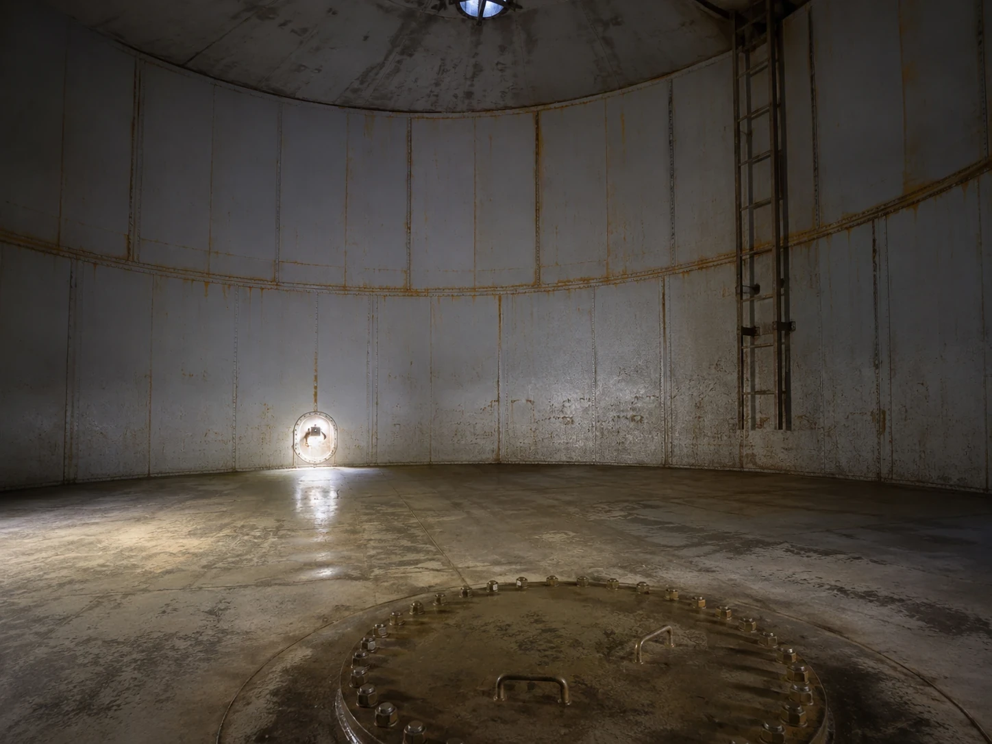
Collision-tolerant drone inspecting the interior of an industrial tank or process vessel

TYPICAL APPLICATIONS

Culverts and drainage infrastructure

Water and wastewater assets

Tanks and process vessels

Shafts and chambers

Industrial ducts and voids

Internal structural inspections

LiDAR point cloud visualisation of an internal tunnel captured by a confined-space drone

POSSIBLE DELIVERABLES

Inspection video

High-resolution still images

Annotated defect records

Spatial / LiDAR data where specified

PDF reports and client-ready evidence packs

Inspection route records

Why use aerial focus?

Why use
aerial focus?

Where conditions allow, a confined-space drone can provide the first detailed look inside an asset without immediately putting an inspection team into the space. It does not replace every form of confined-space entry, but it can significantly improve information before access decisions are made.

Need to inspect inside a difficult-access asset?

Need to inspect inside a difficult-access asset?

Send us the asset type, dimensions, known access points and any existing drawings or photographs. We can review the environment and advise whether a specialist internal drone inspection is suitable.

Send us the asset type, dimensions, known access points and any existing drawings or photographs. We can review the environment and advise whether a specialist internal drone inspection is suitable.

Aerial drone photograph used as a background for the call-to-action section
  • INSPECT · SURVEY · DELIVER · INSPECT · SURVEY · DELIVER · INSPECT · SURVEY · DELIVER ·

Aerial Focus logo

A different view changes what you can see. Aerial Focus brings CAA-authorised drone inspection, survey, and mapping to infrastructure and construction teams who need the full picture — without the scaffolding, shutdowns, or risk.

© Aerial Focus Ltd

  • INSPECT · SURVEY · DELIVER · INSPECT · SURVEY · DELIVER · INSPECT · SURVEY · DELIVER ·

Aerial Focus logo

A different view changes what you can see. Aerial Focus brings CAA-authorised drone inspection, survey, and mapping to infrastructure and construction teams who need the full picture — without the scaffolding, shutdowns, or risk.

© Aerial Focus Ltd

  • INSPECT · SURVEY · DELIVER · INSPECT · SURVEY · DELIVER · INSPECT · SURVEY · DELIVER ·

Aerial Focus logo

A different view changes what you can see. Aerial Focus brings CAA-authorised drone inspection, survey, and mapping to infrastructure and construction teams who need the full picture — without the scaffolding, shutdowns, or risk.

© Aerial Focus Ltd